Cort-ma-law is gaelic for “steep climb, boggy on top”
I must admit I failed Gaelic in school. The only phrases I know are “how are you?” and “I am cold” which in Scotland is appropriate conversation for 90% of the year.
So my translation may be wrong but its a steep climb as well as often being wet and boggy on top. I find the boggiest section is the run between Cort-Ma-Law and Lecket Hill. I’ve often ended up ankle deep in a bog.
This route follows a popular walks on well-defined paths. I’ve done it in mist and rain but I wouldn’t recommend it unless you are familiar with the route. The car park can be extremely busy so get here early on a nice day.
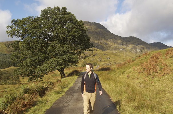
From the car park, cross the road and make your way up the broad grassy shoulder going east. The ascent of Cort-ma Law is fairly relentless but the gradient eases off as you reach the high ground. Remember to look behind you to get the great view down the valley towards Strathblane.
Follow the cairns all the way to the Summit. Once at the summit. Walk north and jump over the fence. A clearly defined path takes you all the way to Leckett hull. Turn west and follow the path all the way back to Crow Road. Run down the road to finish off the route. Keep an eye out for Jamie Wright’s Well on the south side of the road, a memorial to a local angler who tapped the rock to provide drinking water on his walks to go fishing.
VIDEO
Not yet!
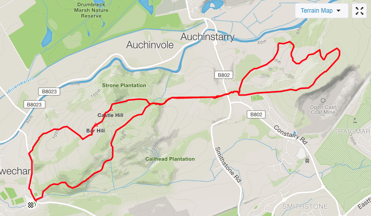
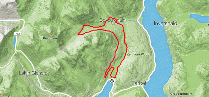
MAPS

Review
A hilly 10k on paths that are easy to navigate.
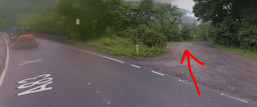
Parking
Parking can be tricky on a nice day as its a popular spot.
Facilities
None although on a nice day an Ice Cream van is usually at the car park.
Nearest cafe
There is a good cafe in Clachan of Campsie and there are a couple of options in Lennoxtown.
Run Surface
90% grass, 10% road
Dog Friendly
There is normally sheep roaming on the hillside.
Elevation
207M of elevation.