Should I run when injured? A doctor will say “definitely not” but I say “how injured am I?”
Like all runners I tend to ignore aches and pains by telling myself, “I’ll run it off.”
The day before this run I slipped and injured my back. I didn’t feel sore at the time. I was actually quite impressed by the quality of my fall to the ground. I managed to hold onto my phone all the way down. Even Tom Dailly the Olympic diver wouldn’t have fallen as gracefully.
I felt fine to start the run but during it I got sore twinges in my lower back so I did what any runner would do. I ignored them and hoped it would get better. It didn’t. By that evening I could barely walk as every movement sent a sharp paint through my back.
The next morning it took me 20 minutes to get up out of bed as I couldn’t twist without pain. I’d move a little bit of myself and then wait until the pain went away before trying again.
I had to get my wife to put my socks on me because I couldn’t bend over. Trouble getting up, scared to fall over and requiring a career – it was a good lesson in what old age will fell like to me.
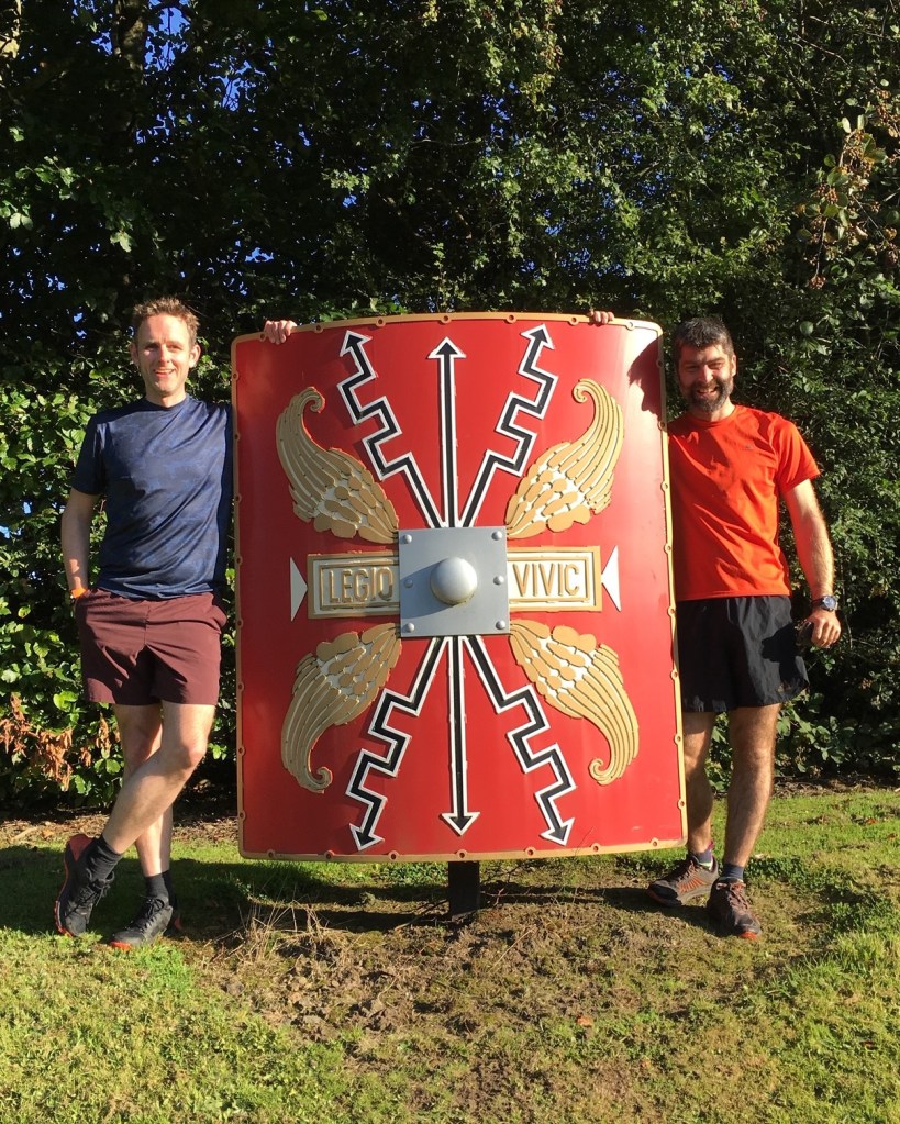
Thankfully I feel better today but whilst watching the video below remember that I suffered for my art.
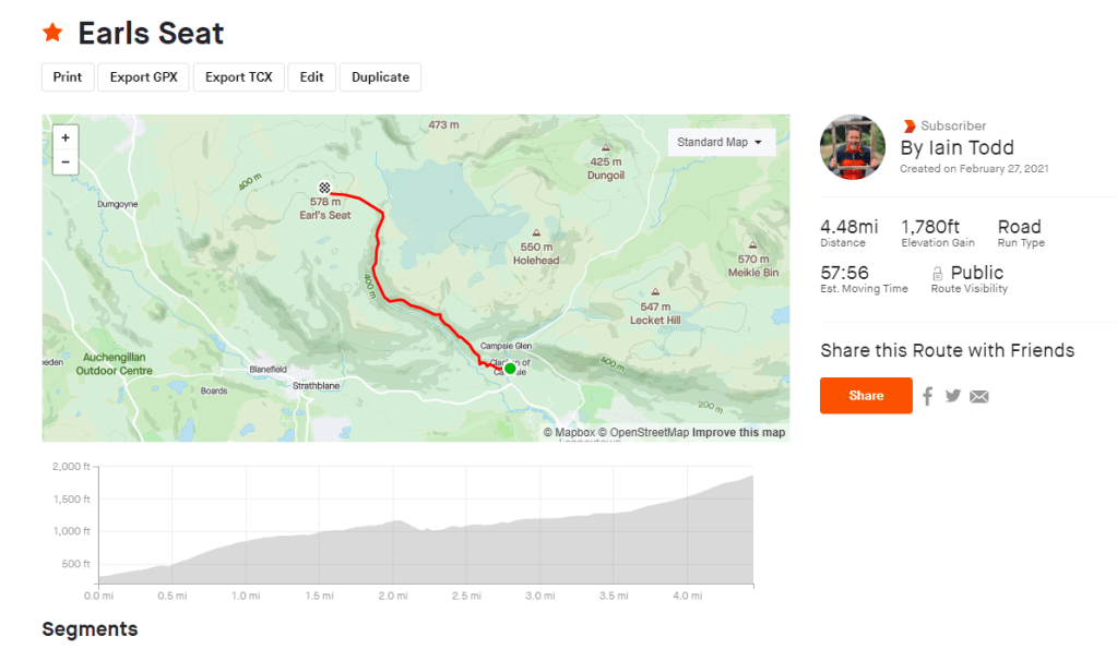
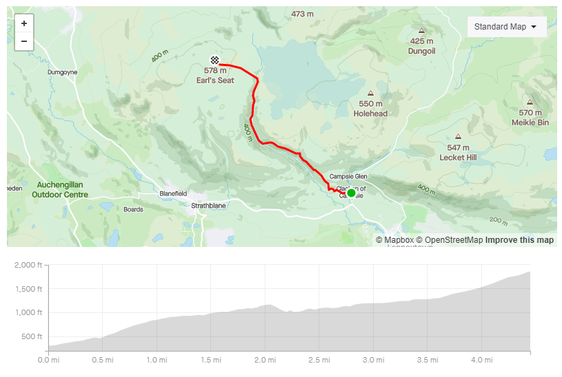
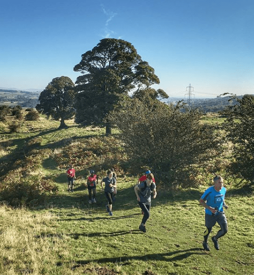
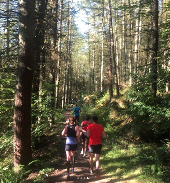
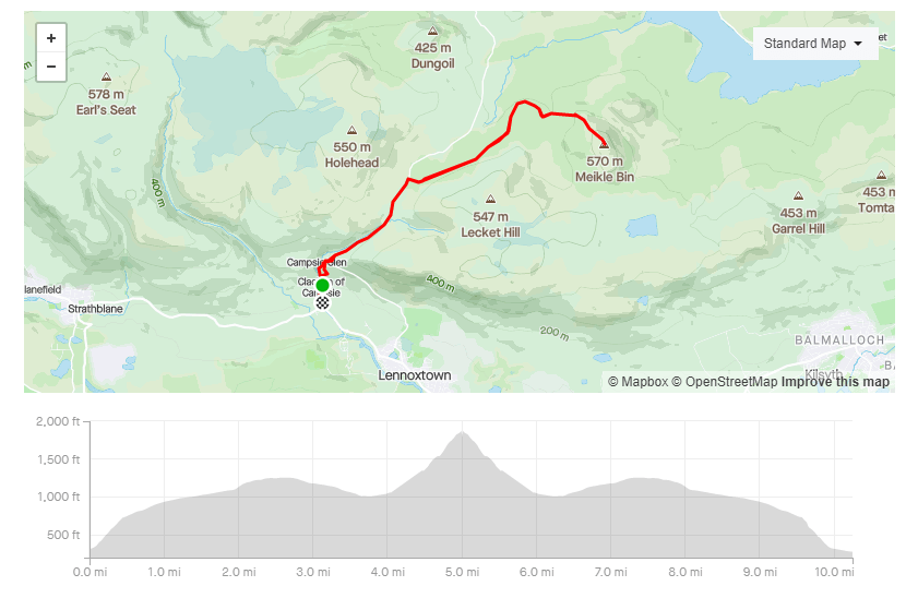
I previously wrote about Meikle Bin here. This is similar but it adds on some extra climbing by starting at the base of the Campsie Hills in Clachan of Campsie.
Check out the video to see the route.
VIDEO
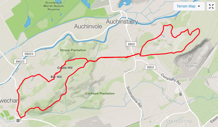
MAPS
Review
An interesting route but the road section might put people off doing it. If so you could start at the forest entrance instead
Parking
Clachan of Campsie can be very busy
Facilities
None on the route
Nearest cafe
There is a cafe and in Clachan Of Campsie
Run Surface
20% road, 50% path. 30% off road.
Dog Friendly
Yes as long as you go back the same way you came.
Elevation
635M of elevation.